Day 1: Cremyll to Tamar Bridge
Day 2: Tamar Bridge to Bere Alston
Day 3: Bere Alston to Horsebridge
Day 4: Horsebridge to Druxton Bridge
Day 5: Druxton Bridge to Somewhere
Day 6: Somewhere to Marsland Mouth (The Atlantic Coast).
Day 1 - Cremyll to the Tamar Bridge
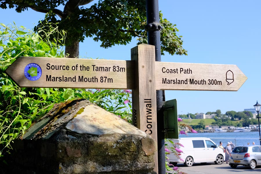
The start of the Tamara way, Cremyll.
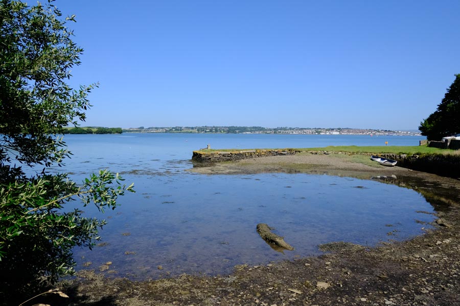
Millbrook Lake, part of the Tamar estuary. Note the crocodile.
It took me about ten minutes to walk from Plymouth railway station to Armada Way where a number 34 bus took me straight to the passenger ferry at Stonehouse. About twenty minutes later I was in Cremyll, Cornwall, and walking on footpaths along the estuary and along leafy tracks through the trees, then on a country road to Millbrook with picturesque views of the estuary and Millbrook. It was a very hot day so by the time I got to Millbrook I was ready for a pint. The Devon and Cornwall pub was cool and welcoming.
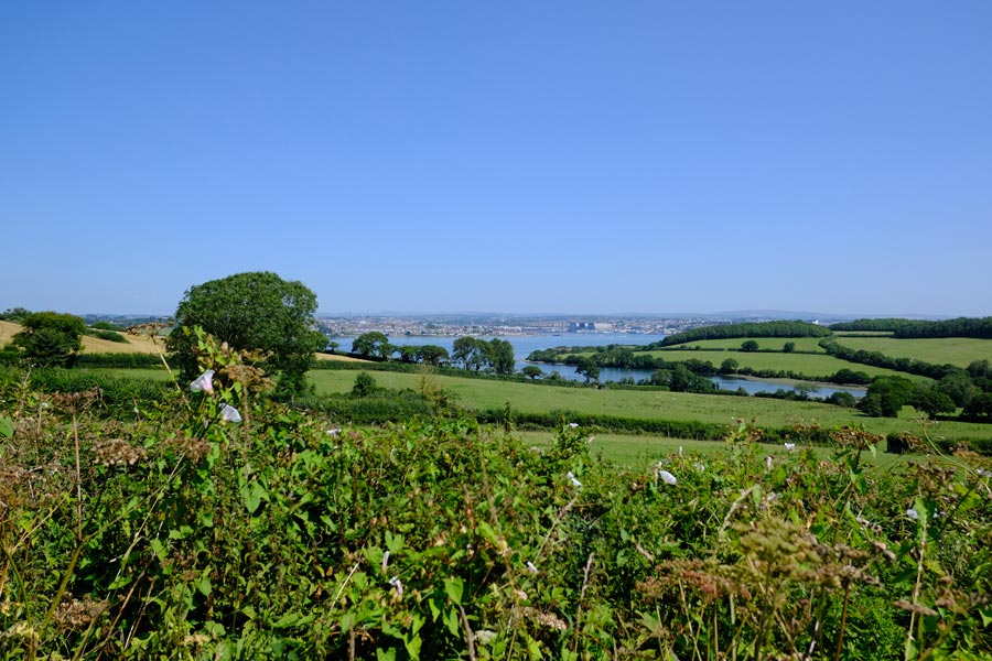
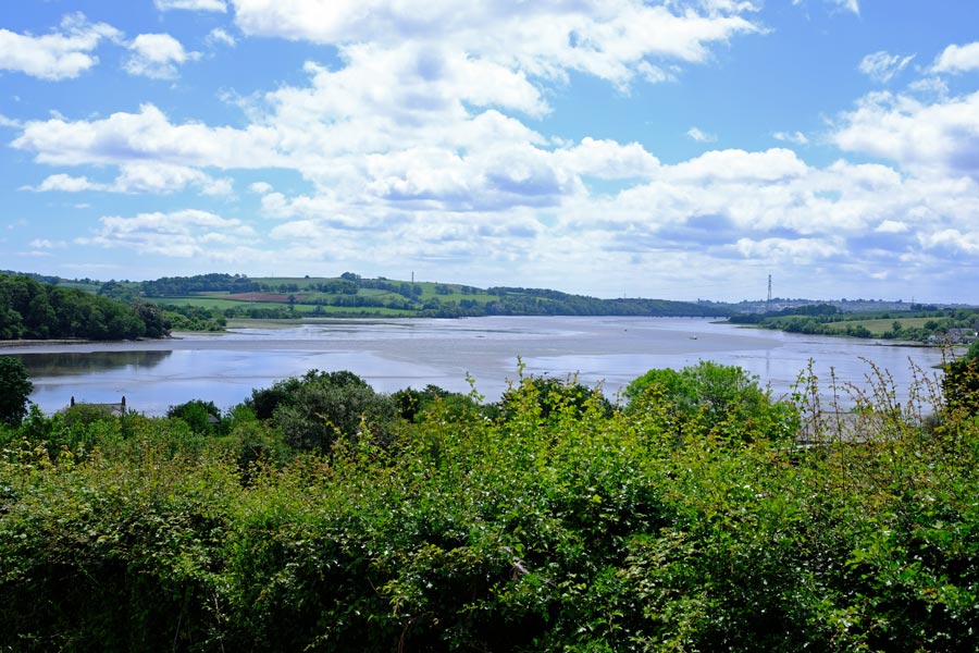
View of the estuary from a high point after Millbrook.
Walking from Millbrook to St John was mostly on narrow country roads, beginning with a steep ascent out of the village and with views of the Tamar estuary now and then. The pub at St John was closed, (closed Monday to Wednesday), but there was a tiny Village Shop right next to it supplying all you might need on a hot day, including ice cream, chilled water (25p per bottle), and outside seating in the shade.
The walk from St John to Torpoint was mostly by road, with a little cross-country walking. Not much to say about that. I was very hot after walking the pavements through Torpoint so I had a cold pint before taking the Torpoint Ferry (foot passengers free) across to Plymouth.
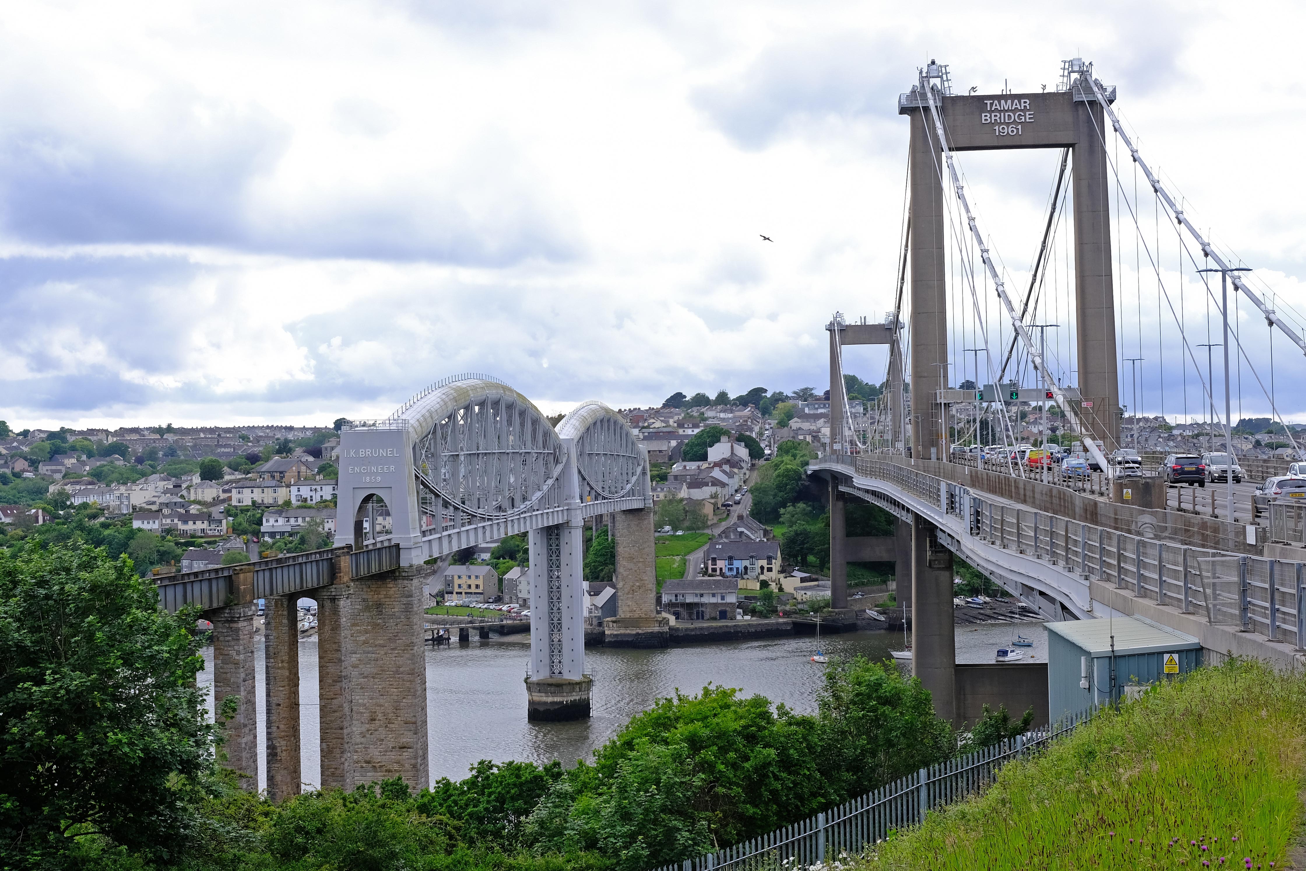
The two Tamar bridges and Saltash.
The walk from the Torpoint ferry passed alongside the Devonport dockyards but there little to see until later when the route began to ascend towards the two Tamar Bridges. I crossed the Tamar Road Bridge back into Cornwall and stayed at the Brunel Inn in Saltash. I can recommend the nearby Cockleshell Micropub, where I had a very nice pint.
End of day 1. 12.5 miles walked. I walked the Cremyll to Torpont section and the Torpoint to Tamar Bridge section on different days but as this only took a day in total so I am treating this as day 1.
back to the top
Day 2 - Tamar Bridge to Bere Alston.

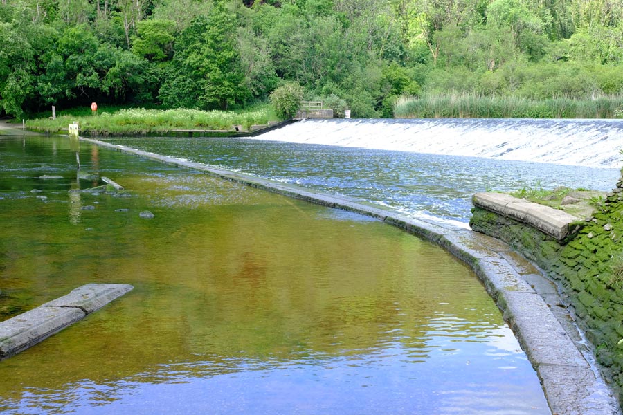
River Tavy Dam
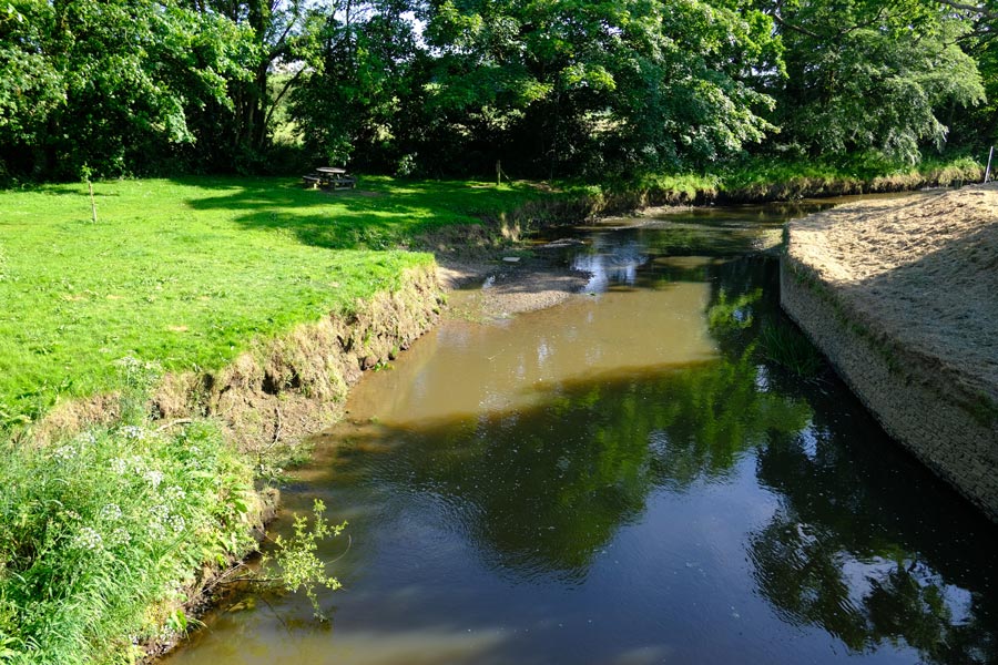
Returning across the bridge, back to Devon, and after walking along a few urban streets I was out in the countryside and walking along the banks of the Tamar, which soon turned into the banks of the River Tavy. Then there were several excursions alongside minor tributaries for bridge crossings before arriving at the ford to cross the Tavy just below the Lopwell Dam. The ford here cannot be used within two hours either side of high tide as it is then submerged.
River Tavy Ford
I had to wait for half an hour for the ford to appear from under the water so I found a seat and had some lunch. Bought from the co-op at Saltash.
Tamarama
After crossing the ford and walking back down the other side of the Tavy, the rest of the days walking was close to the Tamar until I cut inland hoping to find accommodation at Bere Alston. I stopped at the
Old Plough in Bere Alston for refreshments and to ask about accommodation.
The staff and customers of the
Old Plough were very friendly and helpful and after telling me that there was not even a B&B in the village I was advised to catch the last bus to 'Tavi' (Tavistock) where I would surely find some. I downed my pint and dashed off to the bus stop.
After some difficulty, B&Bs full and hotels full or too expensive, I found a bed at the Union Inn Bunkhouse for £20 and had dinner at the nearby
Wetherspoon's Queens Head Hotel (no vacancies). I was the only resident in the bunkhouse that night. It was clean and comfortable and I slept well.
The end of day 2. About 16 miles walked along the trail today.
back to the top
Day 3 - Bere Alston to Horsebridge
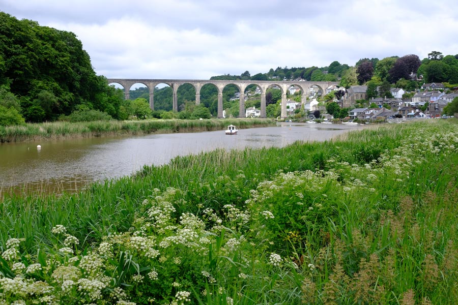
The Railway Bridge across the Tamar at Calstock
After a 'full English' at Wetherspoon's, I returned to Bere Alston by bus and walked back to the banks of the Tamar to continue my walk. The first way to cross the Tamar since Saltash is by train from Bere Alston Station to Calstock Station, so further along the river I had a short walk inland to Bere Alston station (which not in the village) to catch the train to Calstock, Cornwall. It's a short journey but the train travels very slowly across the bridge allowing plenty of time to take in the views.
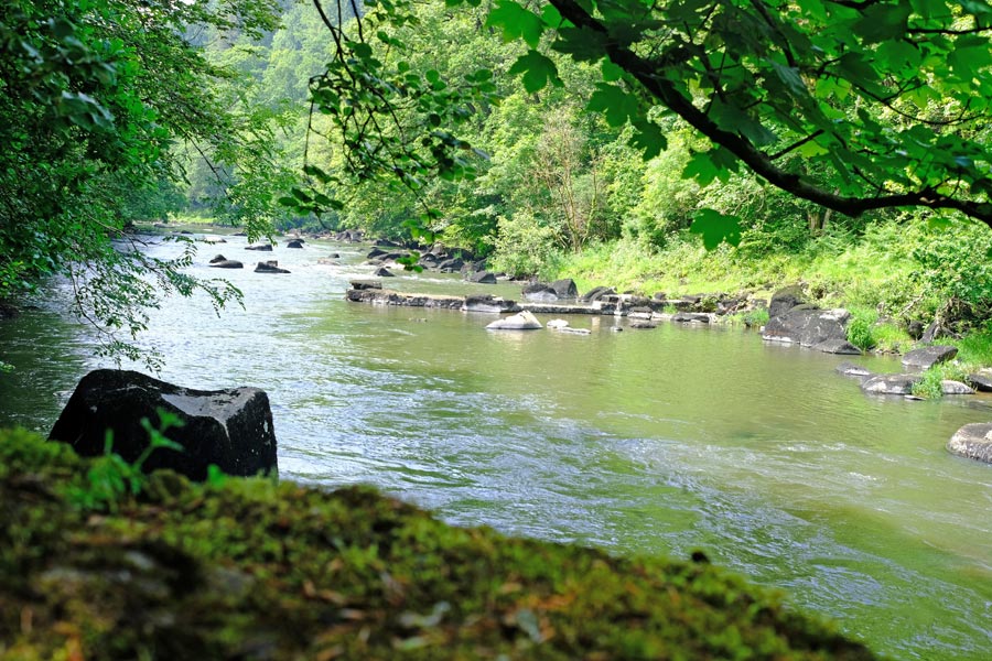
The Tamar at Gunnislake
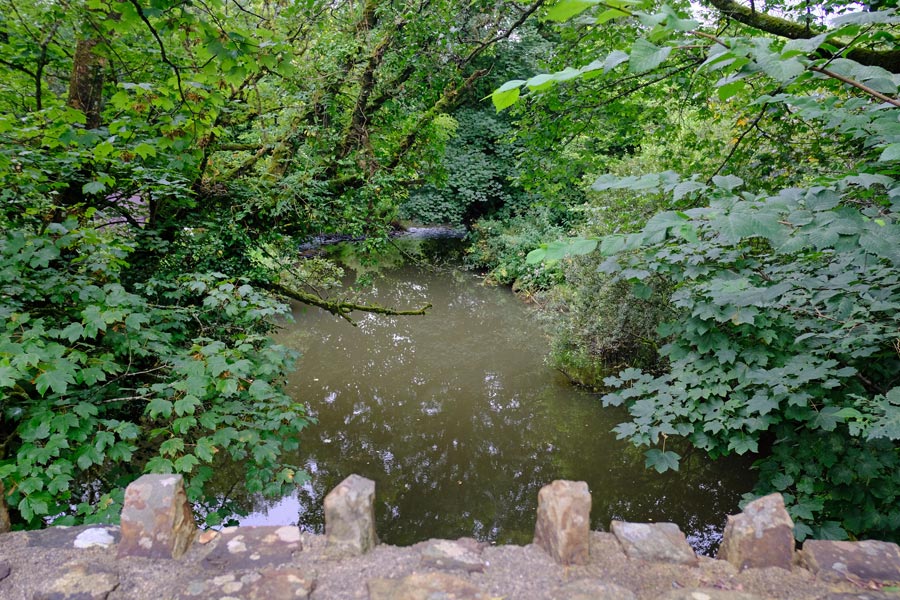
After walking from the station down to river level at Calstock the path continues alongside the river and into a wooded section. The trail then turns away from the river and along country roads for a few miles before returning alongside the river just before Gunnislake. The river is seen through the trees. It was a hot day so I was glad of the shade that they provided. After Gunnislake the path climbs away from the Tamar to Chisworthy, where I had lunch at the White Hart Inn. The trail is along the road for a few miles before dropping down to follow a track through a wooded area along the edge of the Tamar and then away from the river again along the road to Lucket. Then passing through low lying land until until returning to the road and crossing the river again at Horsebridge.
It was Saturday evening when I arrived at the Royal Inn at Horsebridge. There were cars parked everywhere and it was packed. It had been a hot walk and I just wanted to sit and have a cool pint. The bars were full, so I bought a pint of something (there was little choice) from the temporary bar set up outside and looked for a seat. All outdoor seating was taken and people were also sat on anything else available. I took off my rucksack and drank my pint standing up, then made my way back to the peace and quiet of the countryside.
Near Horsebridge
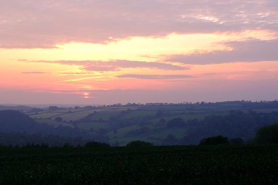
There might have been accommodation at Gunnislake but it had been far too early to stop walking, and the weather was going to stay fine so I had decided that I would wild camp that night. I had packed a sleeping bag, bivvy bag and sleeping mat. I walked for a mile or so beyond Horsebridge until I found a discrete spot with a view and ate my supper. Later I watched the sun go down and the stars come out between the light clouds.
End of day 3. About 13.5 miles walked today.
back to the top
Day 4 - Horsebridge to Druxton Bridge
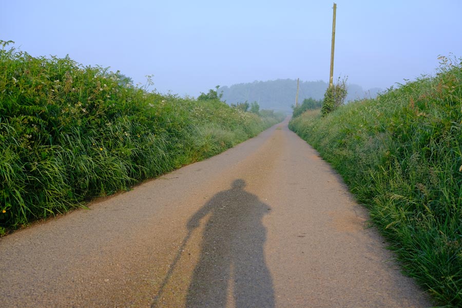
An early start
Next day I made an early start. The path gained altitude and left the Tamar behind. The walking was on quiet country roads until just before Milton Abbot, where it crossed farmland. This continued until just before Lifton where the last mile or so was on country roads again.
At Lifton I had lunch at Lifton Hall and thought about stopping there even though I had only walked about 8 miles. I could see that there was nowhere on the trail for quite a long way ahead where I might get accommodation and it had been another hot morning and I was beginning to tire. Was my age beginning to catch up with me?
There were no vacancies at Lifton Hall so I tried several recommendations. No luck. I noticed that. according to my guide book, the next part of the Tamara Way could be started at Lifton or at Launceston. So I decided to take a bus to Launceston to look for a B&B. I had a pint at the Arundall Arms (couldn't afford to stay there) while I waited for the bus. The bus crossed the Tamar into Cornwall on the way. I had no luck at finding suitable accommodation at Launceston so I decided to continue to walk on.
After walking around Launceston (which appeared to be mostly closed on a Saturday afternoon) I had a snack in a cafe and started out again. Starting at Lauceston instead of Lifton had added 2 miles to the walk but it was cooler now. After about 2 miles, mostly on country roads I crossed the Tamar again at Polsen Bridge and later rejoined my original route at Heale Barton. I continued along more country roads until just before Druxton Bridge where I found a room at Poole Farm.
End of day 4.About 13 miles walked today.
back to the top
Day 5 - Druxton Bridge to Somewhere
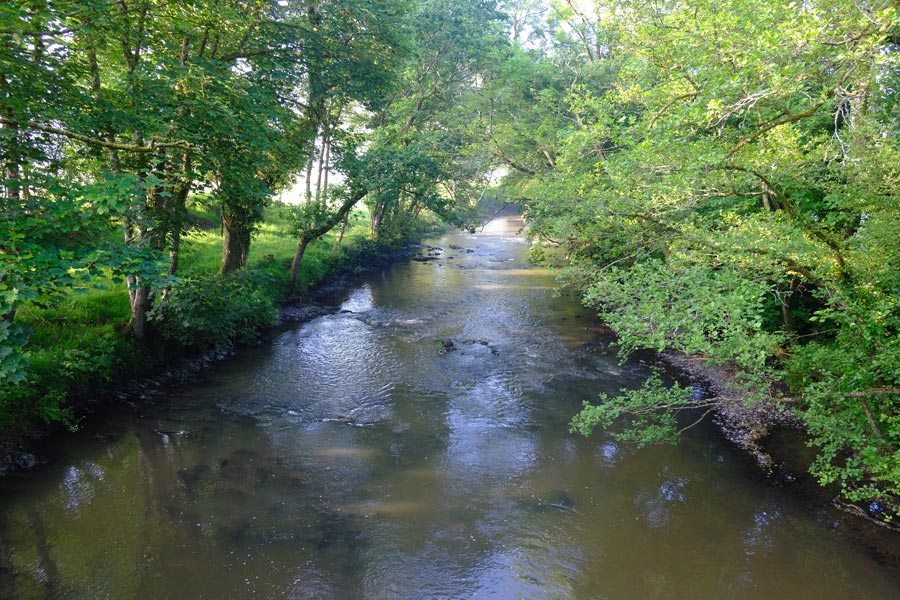
The Tamar from Druxton Bridge
After a good sleep in a very comfortable bed I set out early and crossed the Tamar at Druxton Bridge and walked into Cornwall again. I walked a little over 8 miles along quiet country roads before crossing the Tamar again at Tamerton Bridge.
The Tamar at Bridgerule
After another 5.5 miles I crossed the Tamar again at Bridgerule. I arrived there at about 5:15pm. The Bridge Inn was closed and there were no opening times displayed so I asked several passersby and was told "no idea" and "normally 6pm but could be later on a Sunday" (it was Sunday), and finally "6:30 or sometime later on a Sunday". I decided not to waste time but to walk on. My knee was doing well today. I walked another 3 miles and then realised that I was about to bypass Marhamchurch so I diverted into the village to see if there was any accommodation there. I could find none so I had a pint or two and something to eat at the Bullers Arms Hotel (no accommodation) and then walked back to the trail and along it for a few more miles until the light started to fade, before settling down somewhere in the middle of nowhere to drift off to sleep watching the stars coming out.
End of day 5. About 18 miles walked today.
back to the top
Day 6 - Somewhere to Marsland Mouth.
I slept quite well apart from an aching knee. On awaking I found that my knee was swollen. After walking a few miles my knee was getting very painful so just after West Leigh I turned back towards Bude and at Stratton I caught a bus to Plymouth and then a train home. A month or so later I returned to Hersham (on the 219 bus route) and continued the walk.
The Tamar at Mortonmill Bridge.
From West Leigh there were several miles of walking along country roads including crossing the Tamar again at Moretonmill Bridge.
Derelict Bude Canal
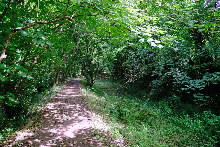
There was another half mile before leaving the road and walking along what was once the towpath of the Bude Canal, taking me to Lower Tamar Lake. This was a very pleasant section being flat and being shaded by trees as it was quite hot. There was evidence that the later part of this section could be boggy when wet.
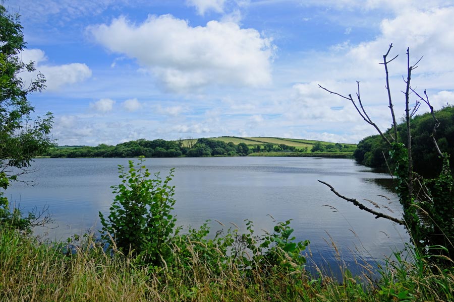
Lower Tamar Lake.
The path then continued along the western edge of the Lower Tamar Lake for a short while before veering away just before reaching the larger Upper Tamar Lake, so I detoured to see the lake and then returned to continue the route, which ran through unmade lanes for some time but with no view of the lake.
The Tamar at Youlstone Ham Bridge
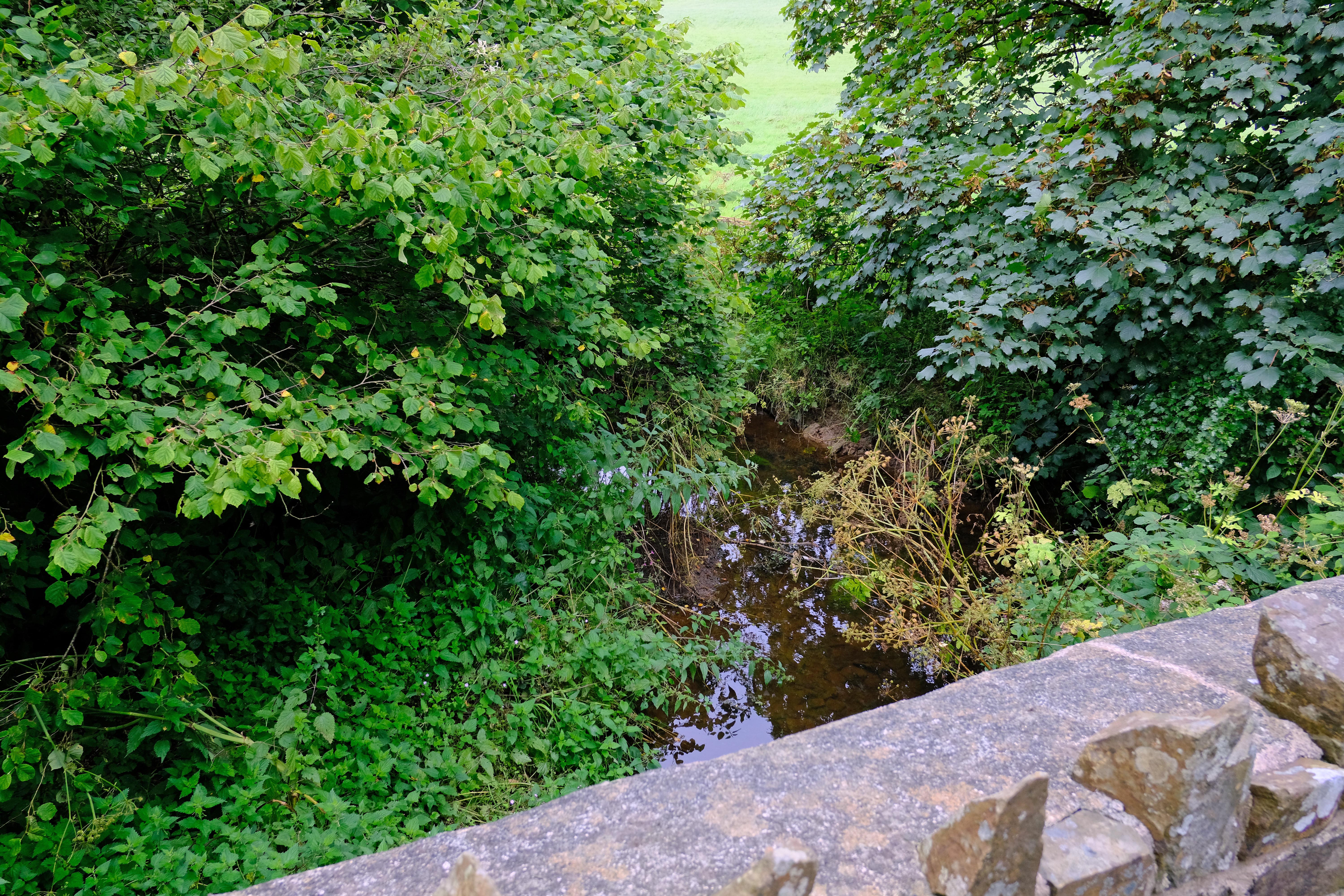
Soon the path was again along country roads and would stay that way until reaching Wooley. On the way, the Tamar, now a stream, was crossed once more at Youlstone Ham Bridge, which was the last I saw of it. It continues on for a short while fed by sources in the meadows beyond, and is not accessible.
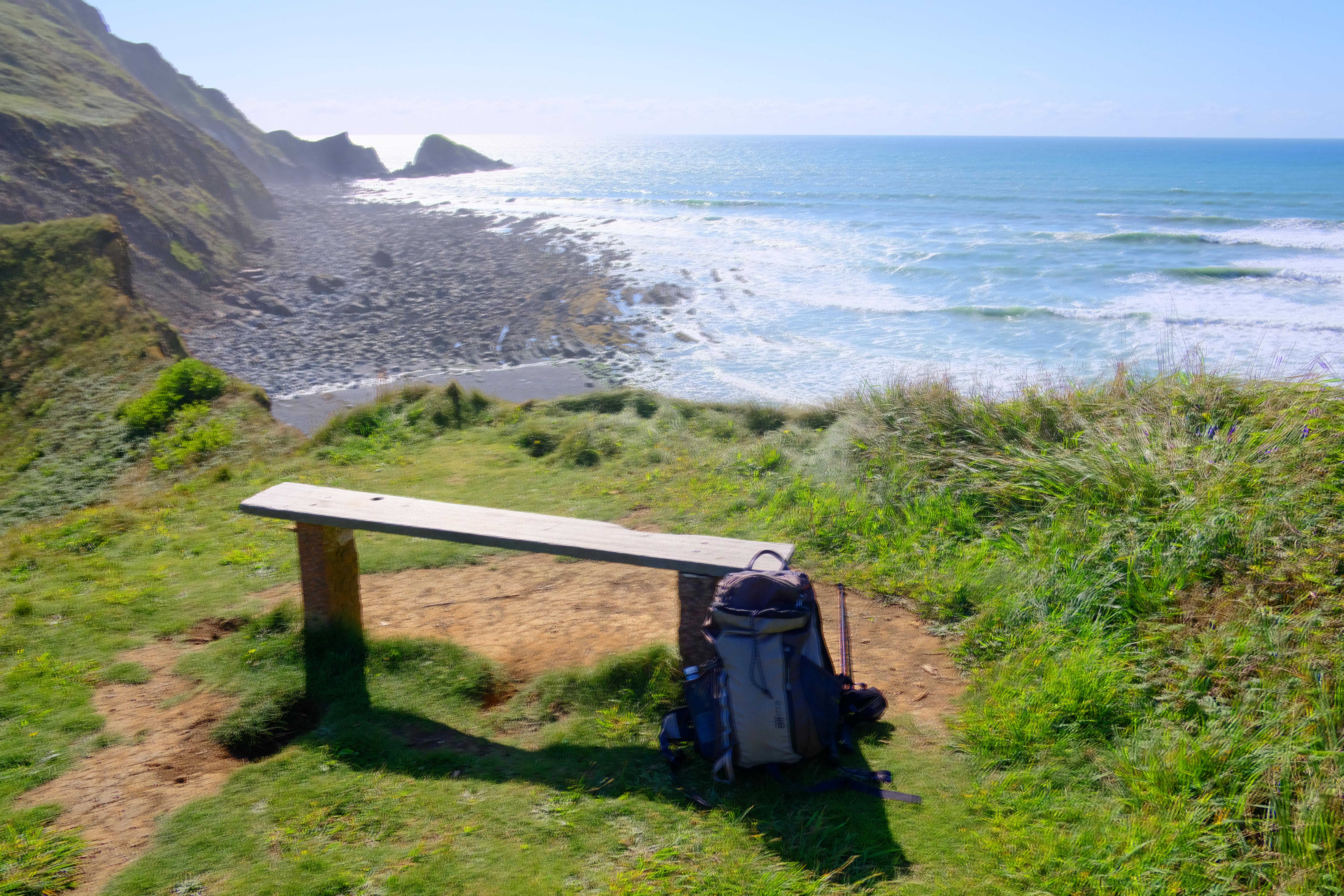
Marsland Mouth.
After Wooly the path reverts to footpaths passing through a long wooded valley, during which I encountered a confusing diversion and shortly afterwards found myself looking down a long open valley to the Atlantic below at Marsland Mouth, where I rested in the sun for a while before making my way back to my nearby campsite. On the way I was able to get some re-hydration at the Old Smithy in Darracott.
Tamara Coast to Coast Way, total distance walked. 87 miles
I chose not to walk the final few miles to Morwenstow as I had done that on a previous walk. By walking the South West Coast Path from Marsland Mouth to Plymouth plus the Tamara Coast to Coast way from Plymouth to Marsland Mouth, I have now completed the "Kylgh Kernow", the "Circle of Cornwall Trail".
back to the top
swcp.uk
All photos © Martyn Pearce
Website by mpws